Foghorn (A Call to Action!)
- Friend of the blog and submarine legend Erika Bergman is leading an expedition to Belize’s Blue Hole! Follow along as she maps this unique ocean feature: Belize Blue Hole 2018. Some dudes are tagging along, too.
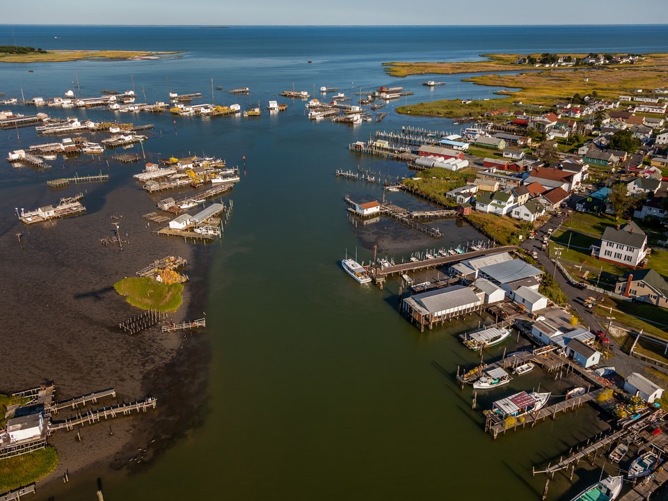
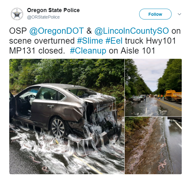
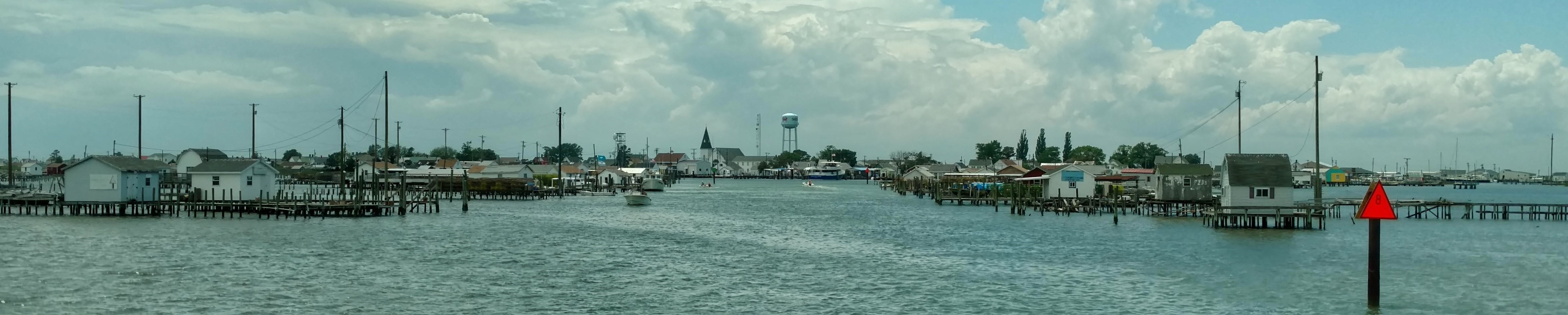
Flotsam (what we’re obsessed with right now)
Climate change affects the natural, built, and social systems we rely on individually and through their connections to one another. These interconnected systems are increasingly vulnerable to cascading impacts that are often difficult to predict, threatening essential services within and beyond the Nation’s borders.
- Meanwhile: The Trump Administration’s Attempt to Bury a New Climate Report on Black Friday Totally Backfired.
- Government Climate Report Lays Out How Screwed We Are If We Don’t Act Now.
The Gam (conversations from the ocean-podcasting world)
- Speak Up for the Blue on art and the ocean.