Foghorn (A Call to Action!)
- The kids are alright. I’m suing the U.S. government for causing the climate change crisis #YouthVGov.
- This fleet of underwater robots will help citizen scientists make the case for ocean conservation. Find out how you can get yours through the SEE Initiative!
Flotsam (what we’re obsessed with right now)
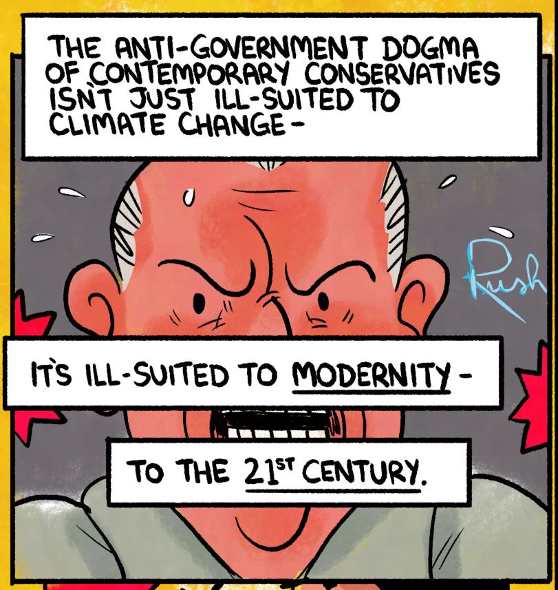
- This comic comes at you like a kick in the teeth. Can Climate Science Be Rendered Conservative-Friendly? How to pitch environmentalism to climate change deniers.