UPDATE: These posts, and the hashtag are getting a lot of attention, so I’d like to reiterate, Caveat Tweetor (twitter beware) — these models are being generated on the fly as request come in. They are not validated and there are many variables that influence sea level rise which are not taken into account. This is a fun way to visualize potential sea level rise but it would be inadvisable to use it for real estate speculation.
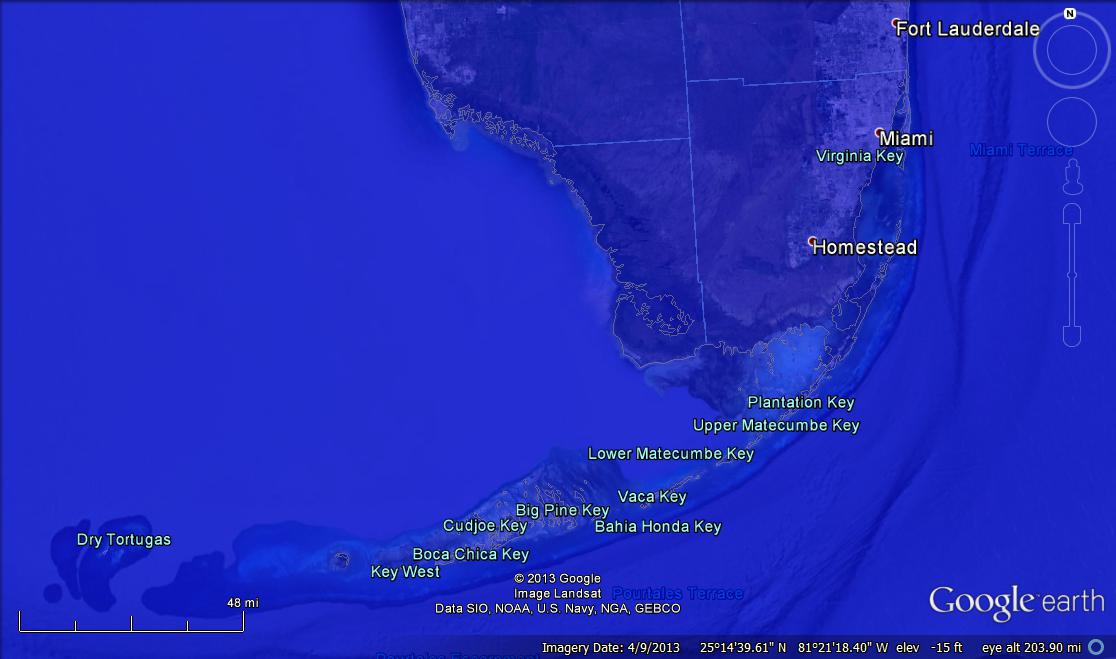
The central conceit in the world of Fleet–my dystopian maritime science fiction serial adventure–is that sea level has risen 80 meters, an extreme maximum projection under global climate change prediction (INSERT LINK TO USGS DATA HERE AFTER SHUTDOWN ENDS – UPDATE: Oh, neat, we have a federal government again. Here’s the source). Since 80 meters is pretty hard to visualize, I turned to Google Earth to help me simulate what our world would look like under those conditions, starting with my new residence in San Francisco:

Oh, but we’re not done yet.
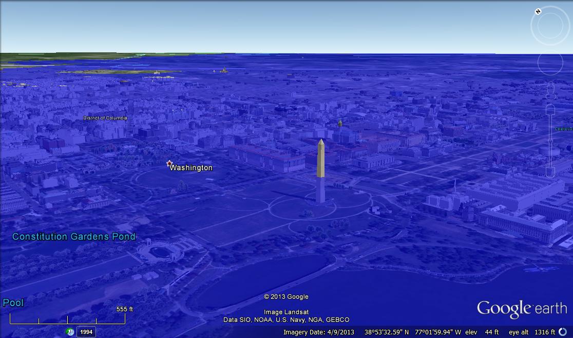
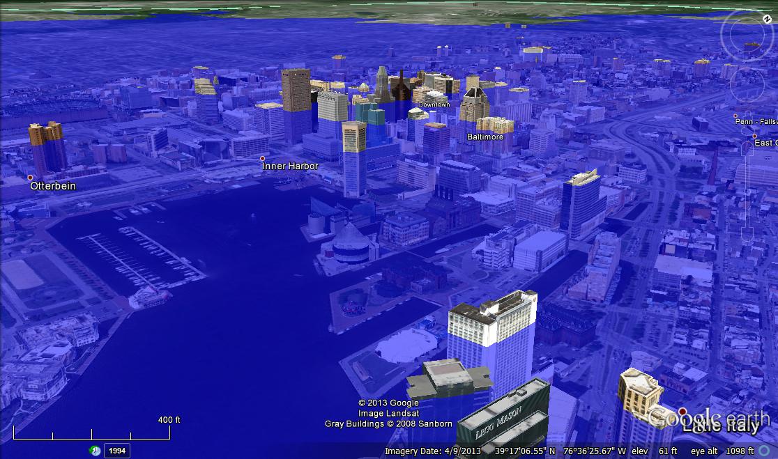
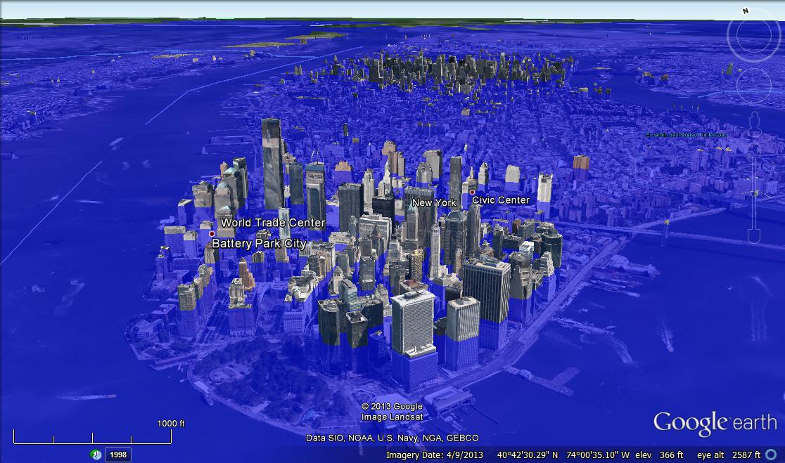
Let’s zoom out a bit:
And I couldn’t resist my Planet of the Apes image!
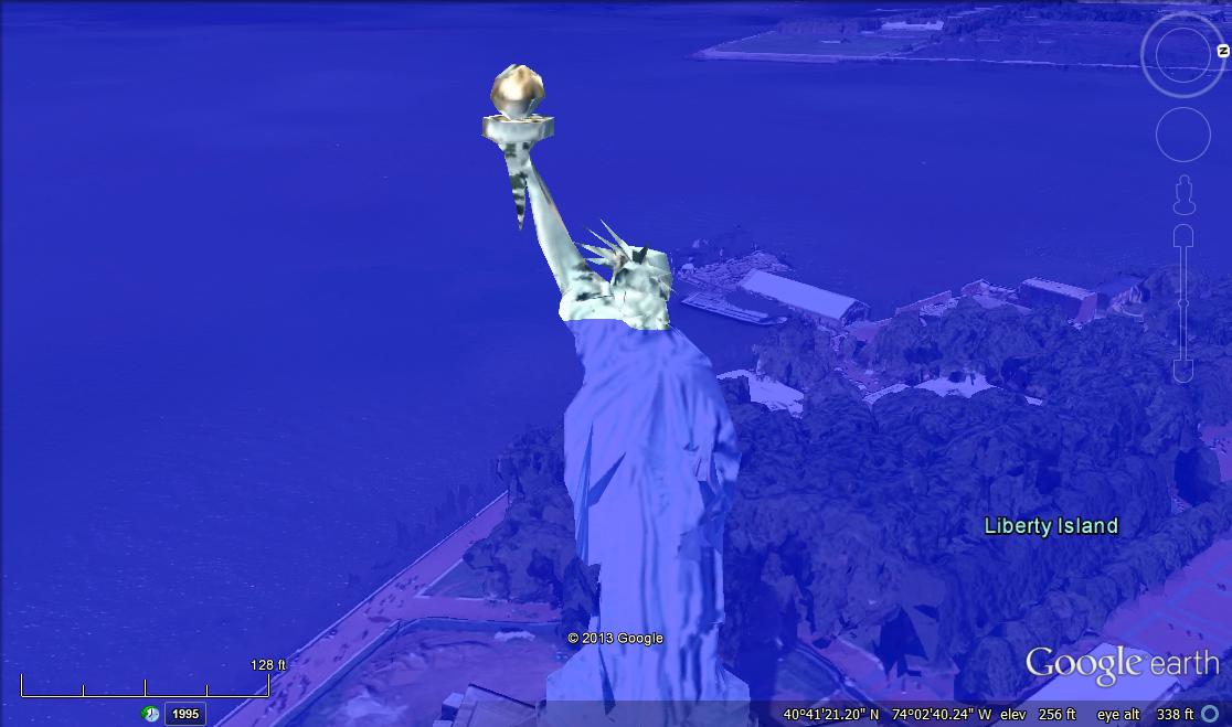
Check out Fleet: The Reach and Fleet: Wide Open to experience a world in which people live with 80 meters of sea level rise.
Pretty certain OKC will remain above the seas, but we will be closer to the beach…
What about inland cities near lakes and rivers–St Louis, Chicago, Cleveland….?Thanks for doing this.
Livingston, NJ?
fascinating stuff… you start this post with the phrase, “The central conceit in the world of fleet…” but I think you mean concept
Thanks! Central conceit is the correct term.
I’m definitely going to have to take a look at Xenophobia.
How do you get Google Earth water to be blue? My water is grey.
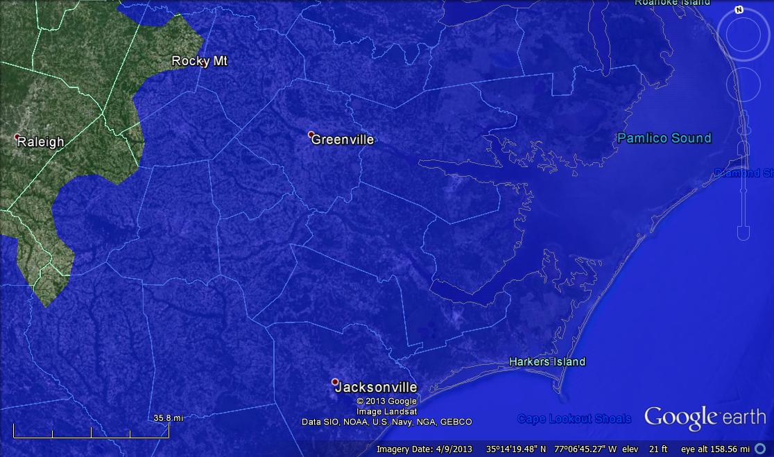
As I don’t have a twitter account, could you do Jacksonville, Florida, please
Denver? Looking forward to ocean front property one day without having to move!
It’s not actually water, it’s a blue, semi-transparent polygon overlaid on the Google Earth globe.
What about the cities along the Ohio river? Louisville and Cincinnati/Covington?
We did St. Louis earlier – https://twitter.com/SFriedScientist/status/390608413572345856
Here’s Livingston, NJ with 100 meters of sea level rise – https://twitter.com/SFriedScientist/status/390889013940219904
Jacksonville FL, just for you, at 1 meter sea level rise – https://twitter.com/SFriedScientist/status/390890024499040257
Here’s Denver with 1612 meters of sea level rise – https://twitter.com/SFriedScientist/status/390895712554061825
Seattle, WA is probably doomed. Also, Langley AF base should probably consider turning into a Navy one. How many meters required?
Here’s Langley – https://twitter.com/SFriedScientist/status/390921899913404416
You can find Seattle in the next post on the blog.
Here’s Louisville with 145 meters of rise – https://twitter.com/SFriedScientist/status/390923904401035264
“What about inland cities near lakes and rivers–St Louis, Chicago, Cleveland”
Just remember that these cities would be unaffected, they are inland and above sea level elevation. Even all Great Lakes cities, will not see any rise as they’re at ~600′.
Otherwise, very interesting
Cool images, and I’m going to check out your serial. What’s your time frame for the 80-meter rise?
The book is set 250ish years in the future. 80 meters is probably way higher than what we’ll actually see.
Hey, kudos on the exposure! A couple years back I wrote a short story about the world after it rains for five straight years. That was how I got Denver underwater. It involved beaucoup research for such a short read (alien aquaforming using hydrogen from the sun, rainfall calculations, spherical volumes, etc.), and I wasn’t happy until I could say for sure exactly what was underwater and what wasn’t (from camps at the foot of Mt. Zion, survivors make foraging salvos 9 miles out to the top floors of Wells Fargo, Qwest, and Republic Plaza). So I found the .kml, tweaked it for the level I wanted, and voila. Just had to share, thought you might find it interesting. Good luck with the self-publishing!
The Drowning World
http://givethereaderswhattheywant.com/?p=895
Could you do Tokyo? Osaka? Thank you!
Ok, how about Portland, Me? We’re obviously right on the coast, but I wonder how far back toward the mountains I need to flee? Thanks.
Perhaps you could write a post explaining how you add these polygons to Google Earth. I wouldn’t know where to start.
Now lets take this a do something practical. Lets pull 122 meters out of the oceans so people can see what he coastlines looked like at the peak of the last ice age.
Good images. How about Seattle, Tacoma, Olympia on the Puget Sound?
go for it! http://www.southernfriedscience.com/?p=15682
Check out our step-by-step guide to drowning your town – http://www.southernfriedscience.com/?p=15682
Done! http://www.southernfriedscience.com/?p=15682
Check the hashtag for some fun images from Tokyo.
There’s a few shots of Portland on the hashtag!
Can you do Zagreb, Croatia?
I’m not longer taking requests, but here are the step-by-step directions so that you can drown your town! http://www.southernfriedscience.com/?p=15682