A decade after #DrownYourTown, I’m still making sea level rise personal.

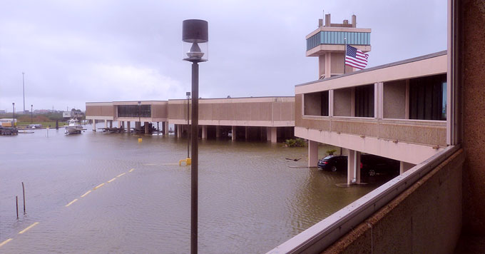
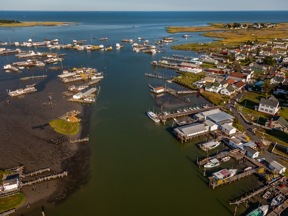
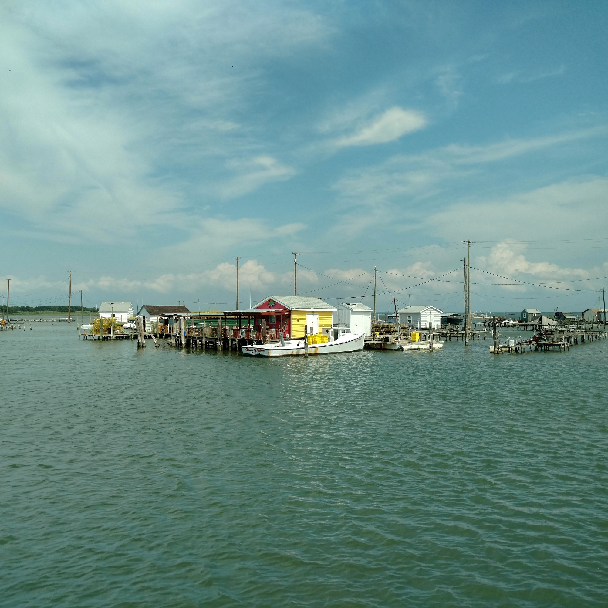
Ten years ago, I launched a strange little project called Drown Your Town. The premise behind Drown Your Town was simple: I created a little macro in Google Maps that allowed you to superimpose a floodwater layer on top of 3D renders of communities. It was a quick and dirty way to demonstrate sea level rise in an era where those kinds of bespoke models were hard to generate. With #DrownYourTown, anyone, anywhere could simulate sea level rise in their own back yard.

It wasn’t originally going to be an outreach tool. I was writing a science fiction novel about life in a post-climate change world and needed an easy way to visualize places in the stories might look like. The book is still available, on Amazon, along with two other novellas that I wrote, though I warn you, none of them are very good (in my defense, it was the high water mark for self-publishing ebooks and I was still trying to figuring out what my post-academic career would be).

We pushed out the app, launched a successful tumblr page where folks could request sea level rise models, initiated what remains to this day my most successful Twitter campaign of all time, and spent the next year helping people visualize sea level rise in their communities.

We learned a lot about climate change outreach from DrownYourTown.

Read More

We Robot, a horrible hagfish massacre, deep, delicious sandwiches, fish slime harvests, and more! Monday Morning Salvage: September 10, 2018.

Foghorn (a call to action)

The U.S. is turning a significant portion of Micronesia into live fire and bombing ranges to train Marines. It has plans to completely take over one island for this purpose and has control of two-thirds of another island.

If people in the U.S. mainland understood the military’s plan for Micronesia they might be alarmed. But this is really happening to U.S. citizens living in America’s territories.

(source)

Flotsam (what we’re obsessed with right now)

The Levee (news from LUMCON)

LUMCON’s DeFelice Marine Center, flooded, as seen from a dormitory balcony. (Photo: Courtesy of LUMCON)

LUMCON’s DeFelice Marine Center, flooded, as seen from a dormitory balcony. (Photo: Courtesy of LUMCON)

Read More

Shrinking Islands, shrieking dolphins, little hobbit shrimp, boat knives, and more! Monday Morning Salvage: June 18, 2018

Foghorn (A Call to Action!)

Flotsam (what we’re obsessed with right now)

A combination of storm-driven erosion and sea-level rise, which are both increasing as climate change advances, may soon swallow the island entirely.Photograph by Gordon Campbell / At Altitude Gallery

A normal call. 

The call of a dolphin that would rather not get eaten. 

The Levee (A featured project that emerged from Oceandotcomm)

Read More

Invisible squid and fish with glowing eye spikes: Thursday Afternoon Dredging, April 5th, 2018

Cuttings (short and sweet): 

Spoils (long reads and deep dives):

Please add your own cuttings and spoils in the comments!

If you appreciate my shark research and conservation outreach, please consider supporting me on Patreon! Any amount is appreciated, and supporters get exclusive rewards!

Snot Bots for whale health, critical dolphins, lobster considerations, and more! Monday Morning Salvage: January 15, 2018.

Fog Horn (A Call to Action)

Flotsam (what we’re obsessed with right now)

Screen cap of linked tweet.

Ice balls and slush waves.

Paul May via Storyful.

Read More

Chasing Genius, aquatic brain blobs, hurricanes, bats, and more! Monday Morning Salvage: September 4, 2017

Fog Horn (A Call to Action)

Flotsam (what we’re obsessed with right now)

Read More

Tangier, an Island out of Time.

Tangier Island is sinking.

The last inhabited island on the Virginia side of the Chesapeake Bay covers barely 740 acres of marsh and sand, 1/3 of the area it had when it was first mapped in the 1850s. Tangier suffers from the dual onslaught of erosion and sea level rise. In a good year, the island loses 7 to 9 acres of land, while the westernmost beach recedes 4 meters, exposing homes, gardens, and even graves to the Chesapeake’s unrelenting waves. The town, situated on three sandy ridges, rises to a high point just 1.2 meters above sea level. As salt water incursion and erosion deplete trees and other vegetation, erosion will increase. With a conservative projection of mean sea level rise of 4.4 millimeters per year for the southern Chesapeake Bay, the highest point in town, if it manages to stave off the inexorable erosion, would be completely underwater in 270 years. Tangier will be uninhabitable centuries before that.

Crab shacks in the main harbor. Photo by author.

The Chesapeake Bay and mid-Atlantic coastlines are hot spots for climate change, expecting greater than average sea level rise and more frequent and intense storms. Though the residents of the conservative community on tangier are skeptical, the evidence for human-induced climate change’s impact on the island and the effect of sea level rise is undeniable. Intensifying storms and more dramatic temperature shifts have and will continue to exacerbate erosion. Many residents believe that, had Hurricane Sandy made landfall over the Chesapeake Bay, rather than further north, Tangier would already be largely abandoned. Even the glancing blow from Sandy left significant damage in its wake.

One big storm could spell the end for this 350-year-old community. Read More

June is National Ocean Month and the president’s proclamation needs some fact checking.

June is National Ocean Month! Take a moment to step back, breathe, and reflect on what the ocean means to you. Go to the beach. Read Moby Dick. Build an underwater robot. And then go remind you representative how critical science-based ocean policy is to the future of our country. It seems like our elected leaders may need a little refresher on that, since the presidential proclamation announcing National Ocean Month is a bit… inaccurate.

Fortunately, we’ve take the time to graciously provide some constructive corrections. You’re welcome.

Read More