



One of the many perks of spending lots of time on boats is that you get to overhear some pretty strange radio conversations. The strangest I ever heard took place in the summer of 2002 in the Gulf of Maine, when the captain of a fishing vessel was calling the Coast Guard to report that he was looking at half of a dolphin swimming around. I was shocked, but the Coast Guard radio operator had apparently heard of this, and replied, “No, sir, that’s a mola mola. It’s a fish, and it’s supposed to look like that.” Everyone on the bridge of the sailing vessel I was on laughed.
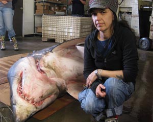
I hadn’t thought about the idea of “half of a dolphin” for more than 10 years… until last week, when I saw this photo of an animal which had washed up on Folly Beach, South Carolina, only a few miles from where I used to live (and swim). According to marine mammal expert Wayne McFee of NOAA’s National Centers for Coastal and Ocean Science, this is the second time in recent weeks that half a dolphin has washed up on the shores of South Carolina. Although more than twice the average number of dolphins have stranded in South Carolina this year, seeing two bitten in half ” is an unusual occurrence,” he told me.
Read More “What’s turning dolphins in South Carolina into half dolphins?” »